
The Local4Casters have been telling you since last week to expect this, and the event has officially begun: a significant weather pattern change that will usher in much warmer temperatures, and a lot of rain.
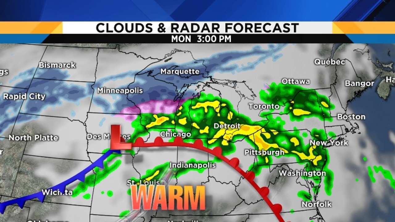
The first batch of rain moved through earlier this morning, well ahead of a warm front (the front edge of the warmer air). The next batch comes in this afternoon, with small breaks followed by ensuing periods of rain – possibly heavy at times with some February lightning thrown in for good measure.
The National Weather Service has issued a Flood Watch (until Wednesday afternoon) in anticipation of this long-term rain event (details on amounts below). Temperatures today are starting off in the 30s (0 to 2 degrees Celsius), will rise into the 40s (5 to 9 degrees Celsius) this afternoon, and then continuing to rise into the low to mid 50s (11-12 degrees Celsius) during the evening.
Since the warm air will be surging from south to north, these times will obviously be a little quicker in our South Zone, and probably a lot later in our North Zone as the warm front struggles at first getting that far north. Wind at 7 to 12 mph will shift from southeast to south after the warm front passes by.
Today’s sunrise was at 7:24 a.m., and today’s sunset is at 6:11 p.m.
Periods of rain will continue through Monday night, with temperatures remaining nearly steady in the low to mid 50s (11-12 degrees Celsius).
More batches of rain will cross the area on Tuesday, with highs roaring into the low to mid 60s (16-18 degrees Celsius). We will likely break all three of our warm records on Tuesday:
Record High: 63 degrees (17 degrees Celsius), set just two years ago in 2016
Record Warmest Low: 47 degrees (8 degrees Celsius), set in 1930
Record Average Temperature: 54 degrees (12 degrees Celsius)
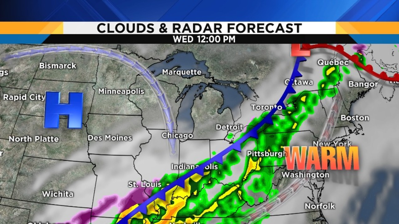
Rain continues Tuesday night, with temperatures initially holding in the upper 50s (14 degrees Celsius) through midnight or so until a cold front finally comes through, and then falling into the upper 40s (9 degrees Celsius) by the time you head off to work and the kids to school, and continuing to fall into the upper 30s (4 degrees Celsius) by the end of the afternoon. Rain should end around midday.
Here is a series of maps showing you the approximately timing of the main batches of rain headed our way:


In terms of total rainfall through Wednesday morning, the computer model that I feel has the best handle on things is projecting a widespread one-and-a-half to two inches of rain across southeast Michigan, with some areas possibly going well over two inches. The biggest concern is that our ground is frozen and cannot soak up ANY of this water, not to mention the melting snowpack adding to the amount of water run-off.
So where does that water go? Wherever gravity dictates. Rivers and streams will undoubtedly rise so, if you live near one and you’ve had flooding concerns in the past, be aware of this possibility…as well as those of you who live in lower spots where water seems to collect whenever there’s a lot of rain. Just be ready…and one thing you can do that benefits everybody is make sure that the storm drains on your street (if you have them) are clear of snow and debris.

As far as the rest of the week, Thursday looks dry, more rain arrives on Friday, Saturday looks dry, and then rain chances return on Sunday…
