As of 2:45 PM, the big batch of rain has moved out, and we have a break for a few hours.
However, thunderstorms are already erupting and moving into northwest Indiana, and that line is heading our way. Between those storms and southeast Michigan are a few breaks in the clouds, and this is the critical part of IF we get any severe weather, and how widespread it becomes. Any sunshine we get would boost temperatures, which makes the atmosphere more unstable.
Recommended Videos
The more unstable things get, the easier it is for parcels of air to rise violently, which gives rise to stronger storms. If you haven’t already, you should download the FREE Local4Casters weather app -- just search under “WDIV” in the app store. It has a radar display that lets you zoom and pan anywhere you want with the slide of your finger. Also follow the @Local4Casters and me (@PGLocal4) on Twitter for updates. Finally, if you’re at work right now, remember that all of our Local 4 newscasts, including First at 4, are streamed live on ClickOnDetroit.com – you can watch Ben Bailey’s live updates from anywhere.


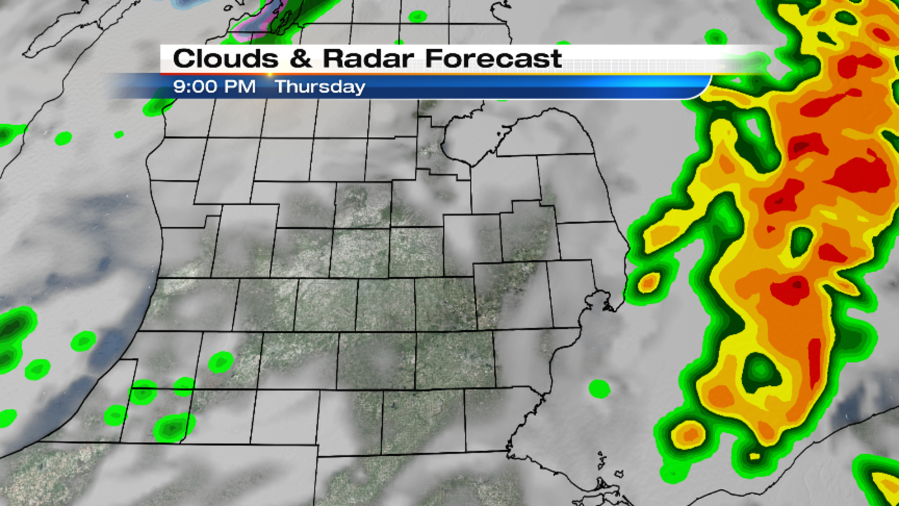
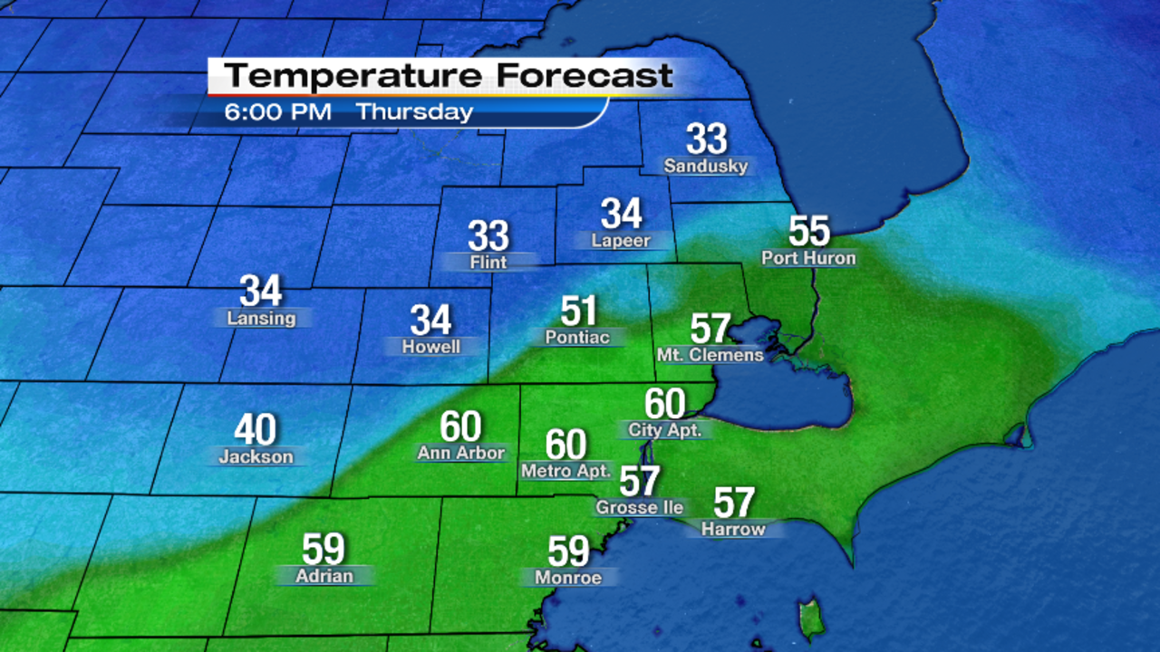
The storms should cross southeast Michigan between 5:00 PM and 9:00 PM, with strong wind gusts and hail being the primary threats, although this is considered a marginal risk at this time. Unless we get those breaks of sun, I don’t think we’ll be warm enough for widespread severe weather. Once the storms pass by, we’ll be dry for the rest of the night, with temps falling into the mid 40s (7° Celsius for our Canadian friends) by dawn. Southwest wind should shift to the west behind the approaching cold front, and settle down to 10 to 15 mph.
Mostly cloudy on Friday with scattered light rain showers possible. Highs in the upper 40s (9° Celsius). West wind at 10 to 15 mph. Friday’s sunrise is at 7:15 AM, and Friday’s sunset is at 8:00 PM.
Partly cloudy Friday night, with lows in the mid 30s (1° Celsius).
Increasing clouds on Saturday with rain and snow showers developing…then changing to just snow showers. Some models actually project some minor accumulation, but keep in mind that the ground is quite warm right now, so a lot of it will melt. Highs in the low to mid 40s (6° Celsius), and it’s going to become very windy…gusts could approach or exceed 40 mph. The National Weather Service may need to issue a wind advisory if what we’re seeing in the models today verifies.
Gradual clearing Saturday night, with lows in the mid 20s (-4° Celsius).
Partly cloudy on Sunday, with highs near 40° (4° Celsius).