
4Warn Weather – Today marks the official start to astronomical Fall, which starts at 8:05 p.m. here in Metro Detroit.
It’ll be chilly and breezy today with afternoon highs only in the low to mid 60s across Southeast Michigan.
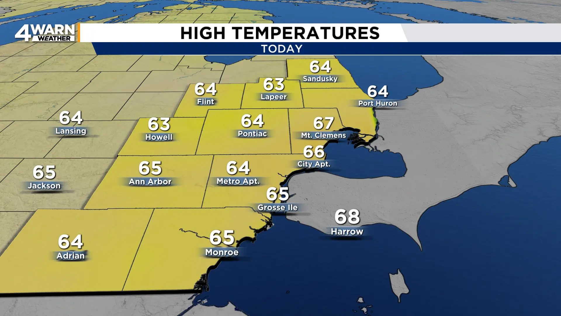
We’ll continue to have winds out of the northeast at 10-15 mph, gusting into the mid 20s at times. Winds will stay up overnight tonight and through tomorrow before turning lighter Thursday.
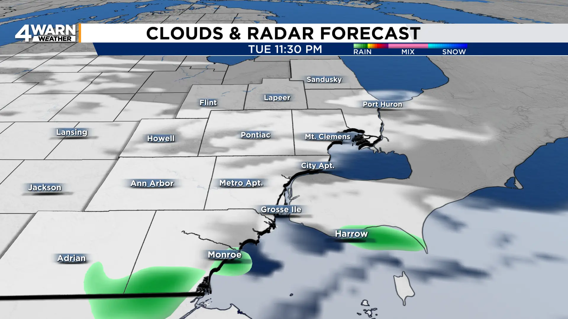
We at least see some sunshine today, breaking out from time to time between the clouds. Spotty showers will be possible tonight into Wednesday.
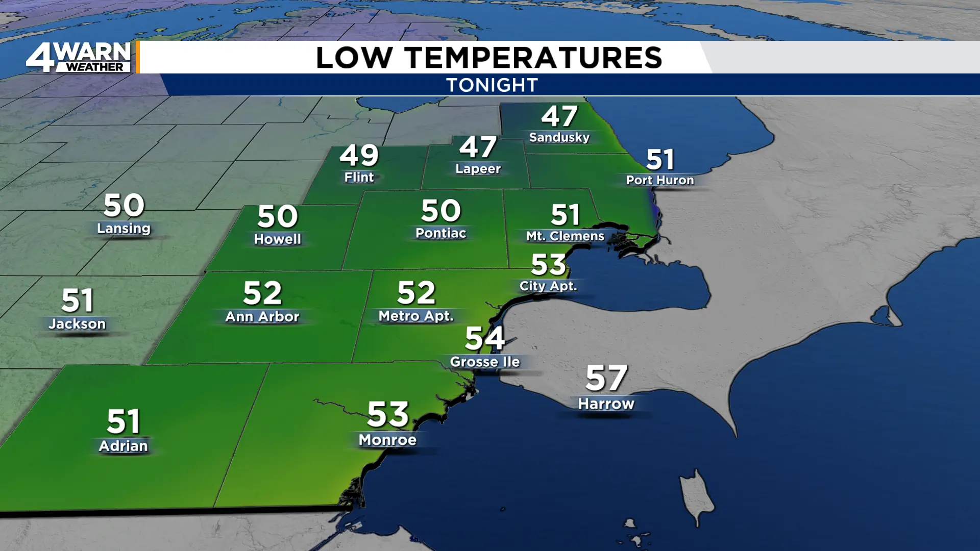
By Wednesday morning, temperatures will be in the upper 40s to low 50s.
This gives way to another cool day Wednesday with highs in the low to mid 60s.

Thursday is when we start to see much more sunshine and when we begin to warm up. Highs Thursday and Friday will be in the mid 60s.
We’re back around 70° for the weekend under mostly sunny skies.
