
4Warn Weather – SUNDAY: Mostly sunny skies. Seasonable temperatures. Patchy dense fog possible in the morning. High: 72.
SUNDAY NIGHT: Mainly clear skies. Patchy dense fog possible overnight. Low: 50.
MONDAY: Mostly sunny skies. Patchy dense fog possible in the morning. High: 73.
MONDAY NIGHT: Mainly clear skies. Patchy dense fog possible overnight. Low: 52.
TUESDAY: Mostly sunny skies. Continued seasonable temperatures. High: 74.
It was a beautiful start to the weekend with plenty of sunshine and seasonable temperatures working throughout our Saturday, and we’re expecting much more of that as we look ahead into the end of the weekend on Sunday.
High-pressure has a grip on our forecast looking ahead into the upcoming weekend, this is thanks to one system over the Midwestern, United States, and the Nor’Easter is bringing gusty winds, heavy rainfall, and flooding to the Northeastern United States.
With Metro Detroit between these two systems, we will see plenty of sunshine as we work through the end of the weekend on Sunday. High temperatures warming into the low to mid 70s by the afternoon.
The dry weather looks to continue into the first few days of next week for Monday and Tuesday. Expect mostly sunny skies both days, with high temperatures warming into the 70s each afternoon.
Expect more clouds as we work into the middle of the week on Wednesday, but most of the day looks to remain dry. High temperatures will warm into the lower 70s by Wednesday afternoon.
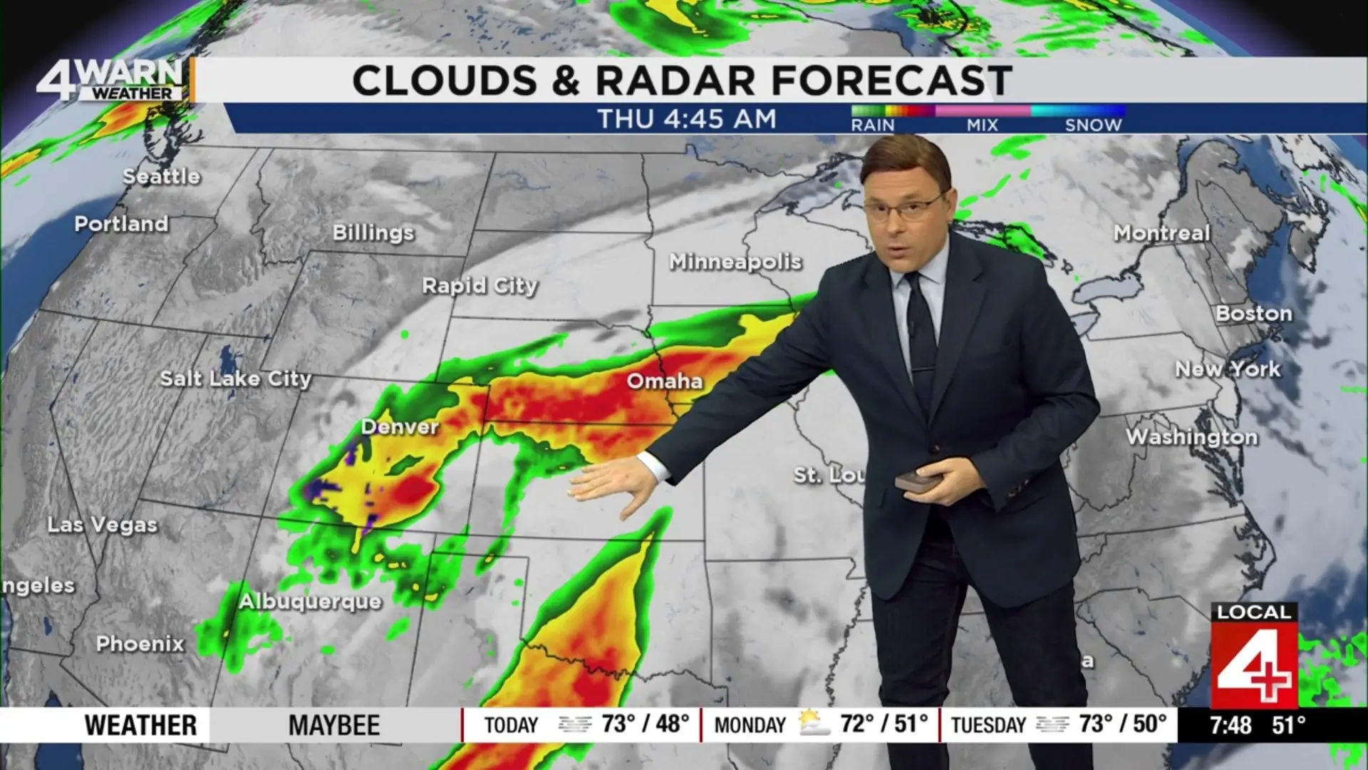
Moisture from Hurricane Polo will combine with a cold front as we look ahead into the middle of next week, and that will bring us our next chances for rain moving into the region.
Expect rain to move into the region throughout the day on Thursday, and into the start of the day on Friday, before we get a break from the rainfall. Temperatures into the lower 70s on Thursday, will cool down a bit into the mid to upper 60s on Friday.
Sunshine returns to the forecast for the start of next week weekend on Saturday, before the clouds increase, and I am expecting another round of rain to move into the region by the time we get to next Sunday.
