
4Warn Weather – High pressure will continue to keep Southeast Michigan under mainly clear skies with light winds through Tuesday.
As the next system moves into the region, we’ll see cooler temperatures and rain chances to end the week.
Let that motivate you to enjoy this evening.
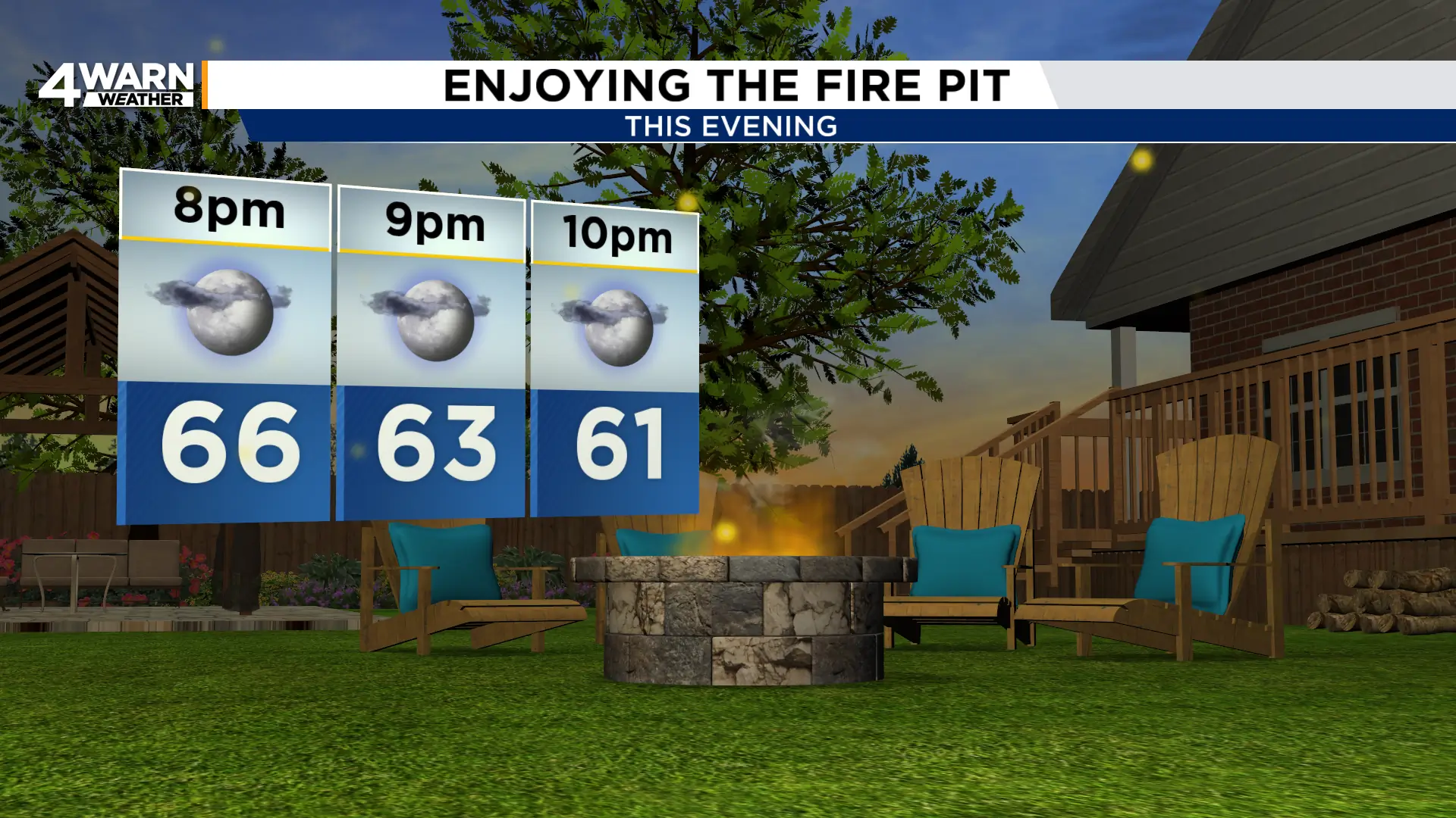
Temperatures will drop to the mid-60s throughout the later evening hours before falling to around 60° into the late night.
Overnight lows will be in the upper 40s to low 50s with mainly clear skies.
There is the chance for patchy dense fog into Tuesday morning, so you may want to allow extra time for the morning commute.
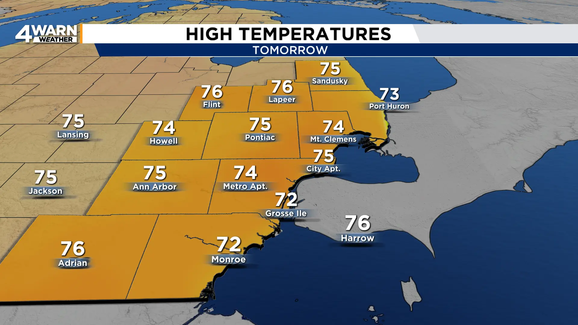
Fog will burn off quickly, giving way to mostly sunny skies and highs in the 70s Tuesday afternoon.
Wednesday will also be in the low to mid 70s, but we’ll see more cloud cover and bring in the chance of rain to end the day.
The better chance for rain will be Thursday and Friday as a cold front moves across the state.
This front drops highs to the low 70s Thursday, then to the low to mid 60s to end the week.
